Guided Tours
Daily Tours
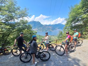
Daily Group E-Bike Tours
Join us for guided e-bike adventures from Bellagio. We have group e-bike tours for everybody and we run them with a minimum of 2 people.
View Daily Tours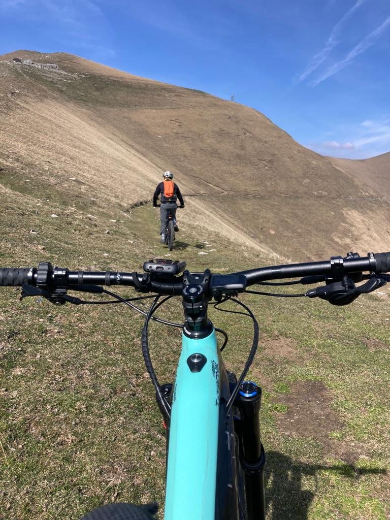
Custom Experiences
Custom Bike Tours
Reserve a customized guided ride with us! Select your biking route or climb of choice, and we'll take you for an unforgettable cycling experience.
View Custom Tours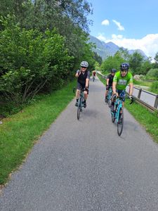
Road Cycling
Road Bike Tours
Experience Lake Como's legendary cycling routes with expert guides. Climb the Madonna del Ghisallo or join us for 3 days to see the best of Lake Como by road bike.
Daily guided tours and multi-day packages available
View Road Tours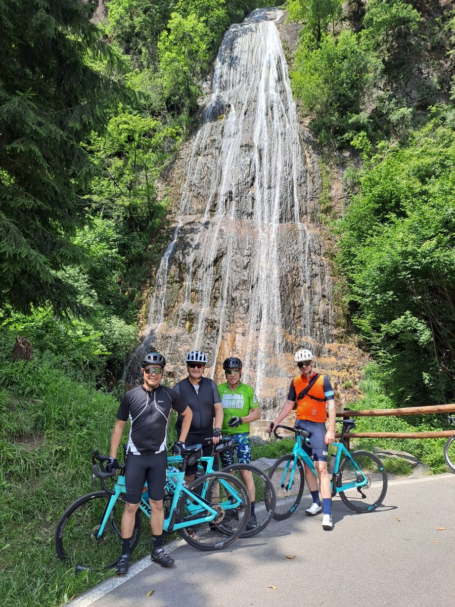
Meet Our Guides
Our Expert Guides
Ride with experienced local guides who know every climb, every view, and every hidden gem around Lake Como.
Meet Our Guides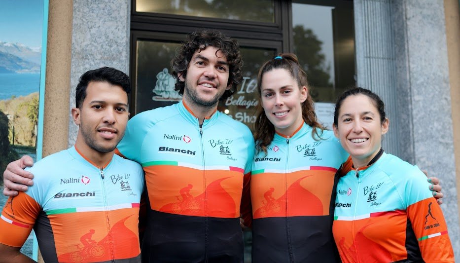
Epic Adventures
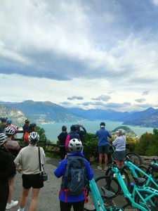
Lake Como 360
Complete the full circle around Lake Como in 1-5 days—on road, gravel, or (e-)mountain bike. Choose from guided or self-guided options with routes tailored to your pace and bike type.
Explore Lake Como 360Explore Bike It! Tours Experiences
From all-inclusive cycling holidays to custom training and tasting adventures, Bike It! Tours offers complete multi-day packages with planning, guides, and premium logistics.
See All Bike It! Tours OptionsShop Shuttle
Daily from Bellagio's town center, in front of Banca Intesa at 9:10 , 9:30 and 14:00. ON RESERVATION. Free parking at the shop